Watch Sunny Trinh and Carl Stanton give an investor update, presented live on 11/18/2024 —click for a replay.


Nasdaq: DEVS

Watch Sunny Trinh and Carl Stanton give an investor update, presented live on 11/18/2024 —click for a replay.

Credit Programs and Available Credits

Effective and Sustainable Clean Water Access in Sub-Saharan Africa

Effective and Sustainable Clean Water Access in Sub-Saharan Africa

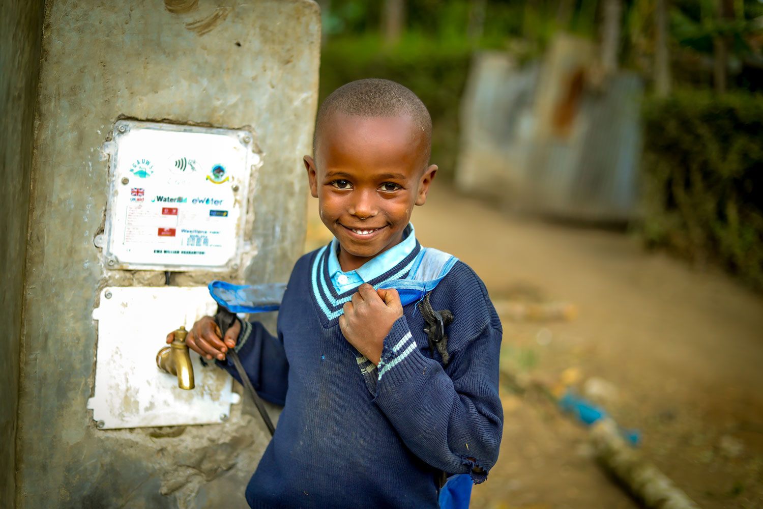
This project involves the installation of smart water taps accessible to the public in rural villages across Tanzania, The Gambia, and Kenya. The initiative ensures that, for each smart water tap, up to 50 families have immediate access to clean water around the clock, perpetually. The project boasts a remarkable 90% reduction in water waste, saving an impressive 950 liters of water each day. In addition, by obviating the need to burn wood and charcoal for boiling water from contaminated sources, this initiative annually saves an average of 100 tonnes of CO2 emissions per smart water tap, making a tangible impact on environmental conservation. Finally, this initiative has a transformative effect on the lives of girls within the community by reducing the time spent on water collection from 3-6 hours to just 10 minutes, facilitating a positive domino effect on education and health.

Saving the Kasigau Corridor in Southeastern Kenya

Saving the Kasigau Corridor in Southeastern Kenya

The Kasigau Corridor REDD Project - Phase II is located in south-eastern Kenya, in the Marungu Sub location, Voi Division, Taita Taveta District, Coast Province, Kenya, approximately 150 kms northwest of Mombasa.

This project covers all the land of 13 private, group-owned ranches as well as the Marungu Hills community conservation area and a wildlife corridor link, totalling 419 440 acres (169,741.4 ha) of land.

Through a combination of dryland forest protection and extraordinary community sustainable development activities, this project is estimated to avoid the gross emissions of over 48 million metric tonnes of CO2e which would have been emitted due to slash and burn deforestation over the 30-year project life, or on average approximately 1,614,959 m.t. per year across the carbon pools of above- and below-ground forest biomass (forest carbon), and soil carbon.

The Project Area is home to a fantastic diversity of mammals (over 50 species of large mammals, more than 20 species of bats), birds (over 300 species) and important populations of IUCN Red List species such as Grevy’s zebra (Equus grevyi), Cheetah (Acinonyx jubatus), Lion (Panthera leo) as well as over 500 African elephants (Loxidonta africana) seasonally.


Reduce GHG Emissions Caused by Deforestation and Promote Decent Living Conditions in Local Villages

Reduce GHG Emissions Caused by Deforestation and Promote Decent Living Conditions in Local Villages

The project is located in the Ipixuna Indigenous Territory of Brazil and is designed to enhance environmental conservation efforts, reduce GHG emissions caused by deforestation, and promote decent living conditions in the local villages inhabited by the indigenous Parintintin tribe. The Parintintin people own, manage, and document all Project activities.

Key Highlights of the Project:

  • The project is situated in the central-southern region of the state of Amazonas, Brazil, within a legally designated indigenous reserve encompassing 196,025.30 hectares of pristine Amazon rainforest.
  • The Project leverages the Reduction of Emissions due to Deforestation and Forest Degradation (“REDD+”) methodology, which includes the conservation of carbon reserves, sustainable management of forests, and improvement of forest conditions.
  • The Project is certified under the Cercarbono Certified Carbon Standard Program and listed on the EcoRegistry at https://www.ecoregistry.io/projects/125. A project outline and information about the developer can also be found on this page.
Reducing Emissions from Deforestation and Forest Degradation in the State of Acre, Brazil

Reducing Emissions from Deforestation and Forest Degradation in the State of Acre, Brazil

The State of Acre, with a surface area of 164,221 km2, corresponds to 4% of the Brazilian Amazon and 2% of the national territory.

The Sustainable Development Policy of the State of Acre is clear when considering forest integrated management. In this policy, the forest is a provider of environmental products and services, and together with the diverse uses of the areas already converted, are structured based on the knowledge of the territory which allows the creation of integrated strategies at the local, municipal, regional and state levels.

The goals of the program include:

  • The promotion of the transition to more productive agricultural systems
  • Reducing the need to expand areas for agriculture and thus avoiding further deforestation
  • Increasing the economic value of the standing forest
  • Improving the quality of life of forest-dependent people

The concept of this program, its objectives, principles, guidelines and forms of management, were the result of a broad debate with civil society in the state of Acre on environmental services related to carbon and enshrined by law, incorporating the recommendations of each of the sectors consulted.


Note that DevvStream was not, and is not currently, involved in the development of the projects listed on this page. These projects have been registered under reputable third-party registries, using established methodologies and standards. Projects listed here comply with all protocols required by their associated standards.